|
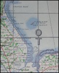
This
system, used then in conjunction with cartographic data produced
by the British, French and later American army geographical
services, led from its principle to the definition of coordinates
having a specific format, reproduced through the following
example:
|
|
 |